Fix slight map overlay offsets #19
Description
I'm having problems to make the map overlay completely accurate. As far as I can see:
-
The satellite position predictions are accurate enough, there are automated tests to check against N2YO.com.
-
The vertical scale of the map is calculated by looking at how much the satellite moves over time. The satellite position predictions are accurate so this is ok.
-
The horizontal scale was guessed using values taken from Alexander-Barth/APTDecoder.jl. This is mostly ok but I think a different value for each satellite is needed.
-
The calculations I do are approximate and can be wrong, but I think it is accurate enough.
-
The biggest problem is the slant, where the left part of the image is too high and the right part too low, or vice-versa. I guess that the satellites have a slight yaw rotation but I'm not sure.

This i how a default image looks like:
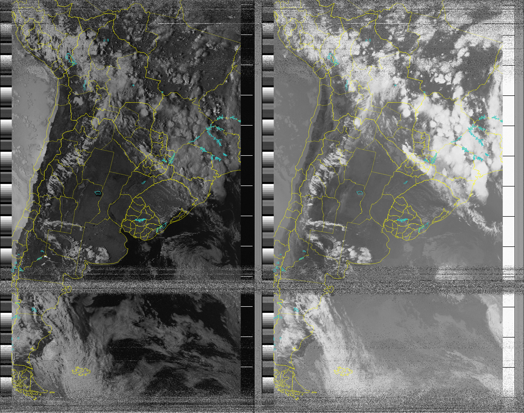
This is the result if I play with the "Yaw correction" value on the GUI. With -3° it looks much better.

The yaw correction needed can be different depending on the image, so I'm not sure on how to correct it. How does WXtoIMG solve it?
My theory is that slightly different values are needed for each satellite (NOAA 15, 18, 19) and also depending if the pass was south to north and north to south.